| Lok Sabha Constituencies in Faridabad district, Haryana (MP Constituencies) | Faridabad |
| MLA Assembly Constituencies in Faridabad district, Haryana | Badkhal Ballabhgarh Faridabad Faridabad Nit Prithla Tigaon |
About Faridabad District :
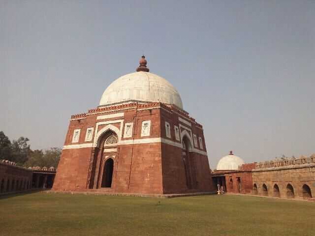
Faridabad was founded in A.D. 1607 by Shaikh Farid, treasurer of Jahangir, with the object of protecting the highway which passed through the town. Shaikh Farid built a fort, a tank and a mosque which are in runins. Later, it becomes the headquaters of a pargana which was held in jagir by the Ballabgarh ruler. The District Faridabad came on the map of Haryana on 15th August, 1979 as the 12th District of the state. The new District was carved out from erstwhile Gurgoan District. Faridabad is about 25 Kilometers from Delhi in 28o 25′ 16″ North Latitude and 77o 18′ 28″ East Longitude. It is bounded by Union Territory of Delhi (National Capital) on its north, Palwal District in the south, Gurgaon District on the west and State of Utter Pradesh on its east. The river Yamuna separate the District Boundary on eastern side with UP State. Delhi-Agra National Highway No.2 (Shershah Suri Marg) passes through centre of District. There are three railway stations (viz. Faridabad Main, New Town and Ballabgarh) on the Delhi-Mathura triple track broad-gauge line of the Indian Railway.
Faridabad is about 25 Kilometers from Delhi in 28o 25′ 16″ North Latitude and 77o 18′ 28″ East Longitude. It is bounded by Union Territory of Delhi (National Capital) on its north, Palwal District in the south, Gurgaon District on the west and State of Utter Pradesh on its east. The river Yamuna separate the District Boundary on eastern side with UP State. Delhi-Agra National Highway No.2 (Shershah Suri Marg) passes through centre of District. There are three railway stations (viz. Faridabad Main, New Town and Ballabgarh) on the Delhi-Mathura triple track broad-gauge line of the Indian Railway
The district having an approximate area of 742.90 Sq.Km. accommodates a population of 17,98,954 (2011 Population census figures) 7.10 percent of the state population. Almost 80% population of the District is urbanized. The district has almost flat plains. The river Yamuna flows on its entire eastern boundary. Its sex ratio according to 2011 population census is 871 against 877 in the state while literacy rate is 83.0 against 76.64 in the state. It is the most densely populated district in the state
Faridabad comes under the Gurgaon Division of Haryana. Haryana is divided in four Divisions. Each Division is headed by Divisional commissioner. The Deputy Commissioner is the administrative head of District. The Faridabad is divided into two Sub Divisions and each Sub Division is headed by Sub Divisional Magistrate (SDM). The district has 111 Gram Panchayats, 2 Block/Panchayat Samitis and a Zila Parishad located in 2 Community Development Blocks. It has 192 revenue villages located in 2 tehsils. It has one Parliamentary seat and six state legislative assembly seats
District at a Glance
- District –
- Headquarters –
- State
- Total –
- Rural –
- Urban –
- Population –
- Rural –
- Urban –
- Male –
- Female –
- Sex Ratio (Females per 1000 males) –
- Density (Total, Persons per sq km) –
- Assembly
- Loksabha
- Official Website –
Tourist Places :
Baba Farid’s tomb :

It is believed that Faridabad was named after baba Farid, a popular sufi saint. There is great bustle all year round of pilgrims coming from different regions to this place
Camp Dhauj Lake :

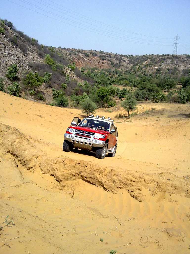
With eco-lodges and safari tents, Camp Dhauj is a one of its kind recreational facility at a small distance from Gurgaon
Latest Govt Job & Exam Updates: